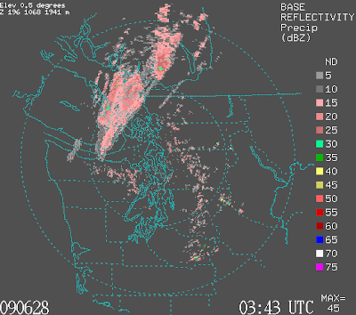
A weak cold front is now moving into western Washington (see satellite and radar) imagery...with increasing clouds and a few light showers on the coast and NW washington. The onshore pressure gradient is rising (currently about 2.5 mb) and that will cause a modest influx of cooler, marine air overnight. So expect a cooling of 5-10F tomorrow and more clouds.

Tidak ada komentar:
Posting Komentar